Yarlung Tsangpo Great Bend — Tibet China
The Yarlung Tsangpo Great Bend near Namche Barwa in southeastern Tibet is the world's deepest canyon at 5,382 metres from Namche Barwa's summit to the river surface — deeper than Colca, deeper than Cotahuasi, the largest vertical drop in any canyon on Earth. The Tsangpo drops 2,700 metres in altitude over 240 kilometres through the bend, creating a series of rapids and falls — the Hidden Falls of Dorje Phagmo, only confirmed by scientific expedition in 1998 — in one of the world's last genuinely unexplored canyon systems. Trekking permits for the Pemako circuit around the bend are tightly controlled, meaning most visitors see the canyon's scale from the viewpoint above Pai village where the Tsangpo's enormous brown volume is visible far below. The canyon's biodiversity — from Tibetan plateau flora to subtropical forest within the same gorge — is genuinely extraordinary.
About this spectacle
Standing at the viewpoint above Pai village, you look out over a chasm that defies comprehension — the Yarlung Tsangpo churns as a distant brown ribbon 5,382 metres below the summit of Namche Barwa. The scale is geological and humbling: the river drops 2,700 metres over 240 kilometres through the bend, and on clear mornings the canyon's layered walls shift from snow-draped Tibetan plateau at the rim to lush subtropical forest far below. Mist rises from the rapids that hide the Hidden Falls of Dorje Phagmo, confirmed only in 1998, lending the gorge a genuine sense of undiscovered wildness. Wind off the canyon is constant and cold in the morning hours. Sounds from the river itself are rarely audible from above — instead it is visual scale that overwhelms. Biodiversity transitions are visible in the vegetation bands: dwarf scrub gives way to conifers, then broadleaf subtropical forest within a single gorge system. The tightly controlled Pemako circuit brings serious trekkers closer to the river, but even the roadside viewpoint delivers a spectacle of raw topographic drama found nowhere else on Earth.
When to go
Sep — Jun, peak Oct — May
Getting there
Nearest airport: LXA. Nearest city: Lhasa.
Booking options
Goyova doesn't process bookings directly. When you tap "Plan this trip" in the app, you'll see options from our partner providers — accommodation, tours, transport — with affiliate links where applicable. See our affiliate disclosure for details.
More like this.
 Peak season
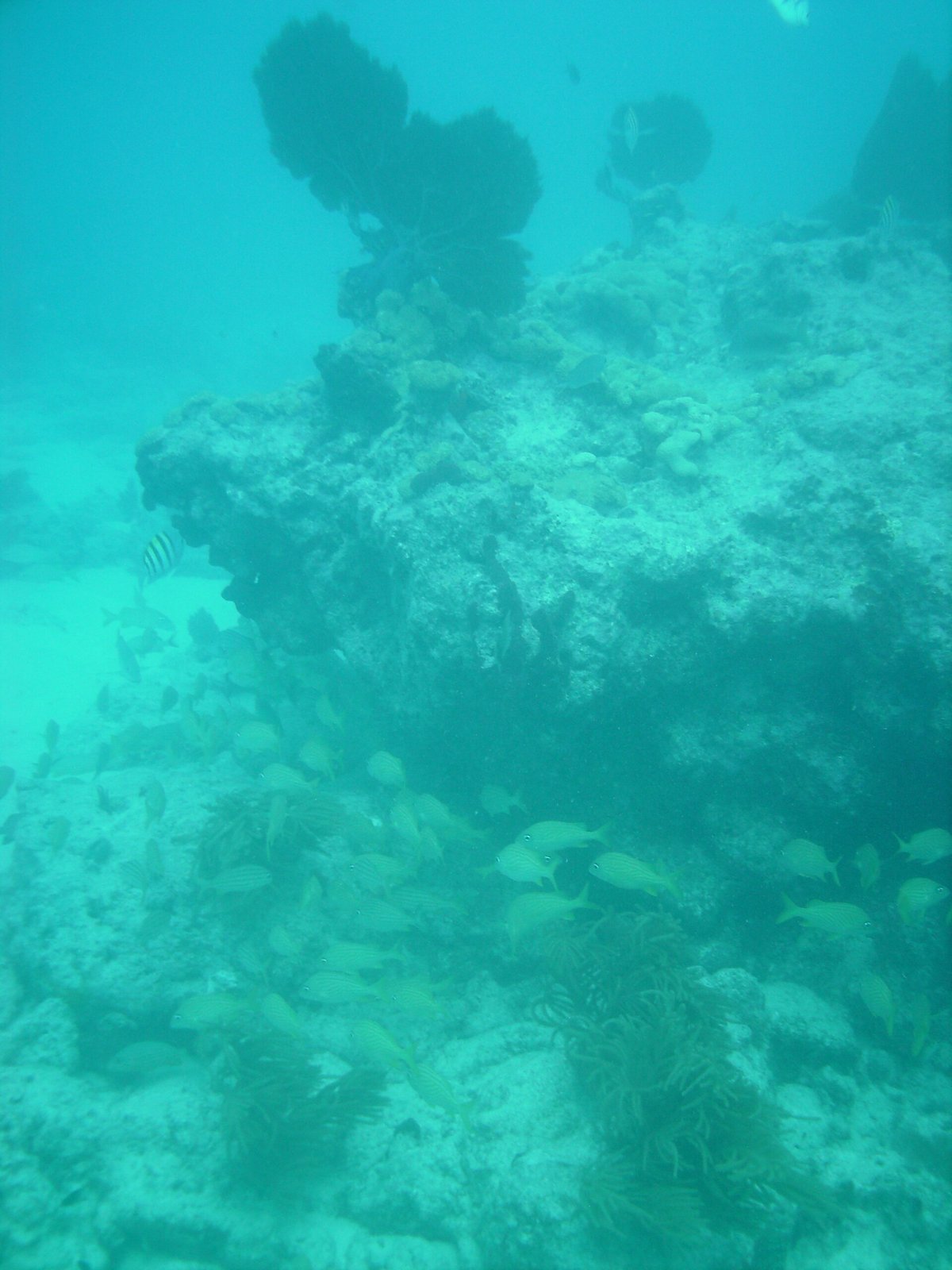
 9-foot Stake Coral Reef — United States
Florida, United States
 Peak season
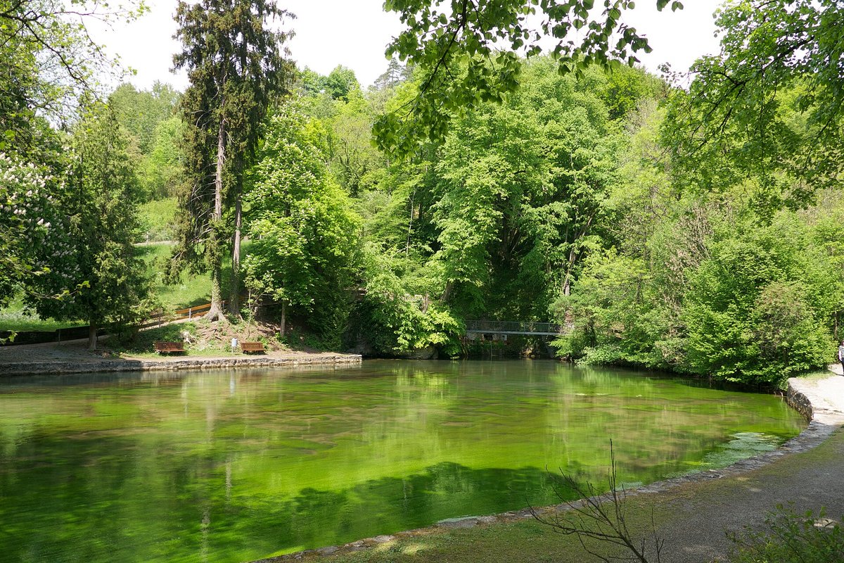
 Aachtopf
BW, Germany
 In season
 Aammiq Wetland — Lebanon
Beqaa Governorate, LB